Step 1: Hire a BCLS
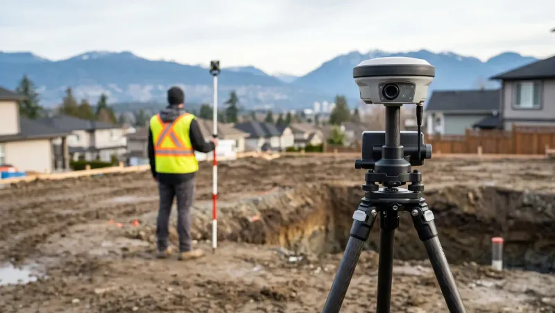
Phase 01In British Columbia, you cannot build on a guess. Whether planning a custom home in Coquitlam or a multi-unit project in Surrey, the municipality requires a Topographic and Boundary Survey certified by a BCLS (BC Land Surveyor) before reviewing building permit drawings.
At Canadian Blueprint, we anchor our 3D Revit models to stamped surveyor pins so your permit drawings reflect exact legal property boundaries and natural grade elevations.
Step 2: Request Topographic Survey
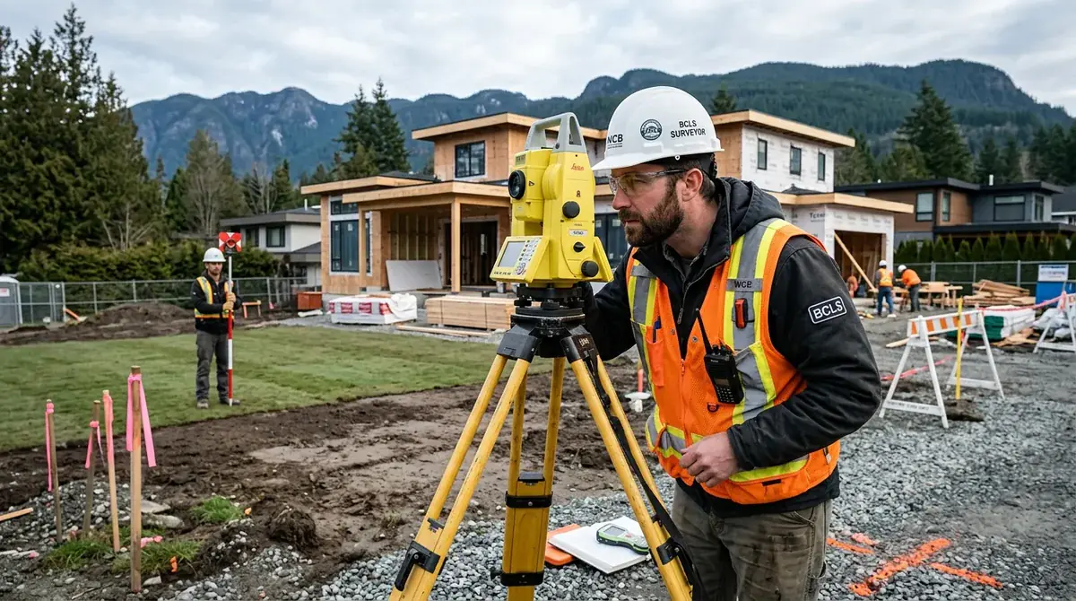
Phase 02Only a licensed BCLS can legally establish property lines and boundary pins in BC. We recommend working with experienced Lower Mainland survey teams:
Target Land Surveying
Fast, responsive, and highly reliable for residential renovations and new builds.
Bennett Land Surveying
Specialists in complex topography, steep slopes, and hillside municipal approvals.
Step 3: Confirm CAD File Delivery
Phase 03When requesting your survey, specify a Topographic and Boundary Survey for Design Purposes. Ensure your surveyor includes:
- Boundary Pins: Verified property corners and lot dimensions marked on-site.
- Topographic Contours: 0.5m elevation intervals to calculate foundation depth and site drainage.
- Average Natural Grade (ANG): Essential for calculating maximum allowable building height under BC zoning bylaws.
- Existing Site Features: Protected trees (over 20cm DBH), utility connection stubs, easements, and rights-of-way.
Step 4: Sync Structural As-Builts
Phase 04Before the surveyor begins fieldwork, confirm in writing that you will receive the raw digital .dwg (AutoCAD) vector file alongside the stamped PDF.
PDF scans cannot be imported directly into 3D CAD/BIM software with millimeter accuracy. Having the original vector CAD file allows our drafting team to immediately integrate topographic data into your permit set.
Step 4: Synchronize with High-Precision Structural As-Builts
Phase 04"The Land Surveyor maps the world outside your walls; we map the world inside them." For renovations and additions, Canadian Blueprint merges BCLS exterior pins with internal 3D LiDAR laser scans:
Already Have a Survey?
GuideIf you aren't sure whether your existing land survey is still valid or complete for your municipal permit application, contact Canadian Blueprint. We can review your PDF or CAD file to confirm whether it meets current city requirements.

Canadian Blueprint Inc.
BC Building Design & Permit Drawings
Published • Updated