Overview & Context
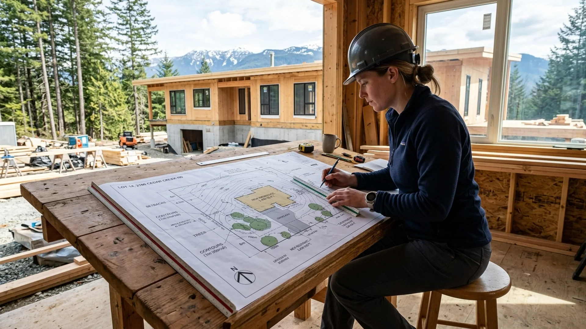
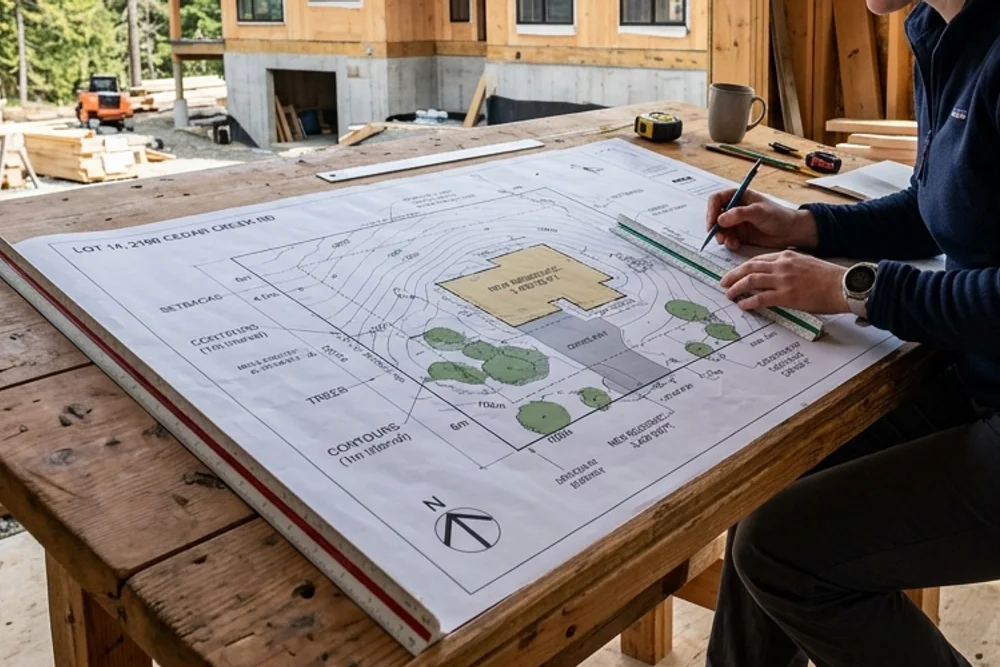
OverviewIn municipal planning and building departments across Burnaby, Coquitlam, Surrey, and Vancouver, the House Plot Plan (also called the Architectural Site Plan) is the very first drawing a plan examiner evaluates.
If the site plan lacks mandatory geodetic elevation points, fails to calculate impermeable surface ratios, or does not clearly delineate zoning setbacks, the entire application receives an immediate Deficiency Notice or permit rejection. A raw land survey establishes legal property boundaries, but it does not tell the city how your new build or addition interacts with municipal zoning bylaws, strict municipal tree protection bylaws, or underground civil utility servicing requirements.
Under the 2024 BC Building Code (Part 9), here is how architectural designers translate land surveys into approved, permit-ready house plot plans.
Step 1: Deconstruct the BCLS Legal Survey vs. Architectural Site Plan
Phase 01Homeowners often ask: "I paid $3,000 for a BCLS survey—why do I need an architectural plot plan?"
A BCLS (British Columbia Land Surveyor) survey is a legal snapshot of the existing earth and legal boundaries. An architectural plot plan is a forward-looking design document that overlays your proposed construction onto those boundaries:
- Legal Encumbrances & Easements: The plot plan must clearly map all Statutory Rights-of-Way (SRW), municipal watermain corridors, and gas easements. Framing any portion of a building or overhang within an SRW triggers immediate rejection.
- Zoning Setbacks & Cantilevers: Architectural site plans document exact metric clearances from all four property lines to the outermost building projections—including foundation walls, cantilevered upper floors, bay windows, and roof eaves.
- CAD Integration: We import the surveyor's raw 3D digital vector data (
.dwg) into our BIM drafting environment to ensure millimeter alignment between site geometry and structural floor plans.
Step 2: Establish 3D Building Envelopes, Average Grade & Setbacks
Phase 02Building height in British Columbia is almost never measured from flat street level. It is calculated from Average Finished Grade or Natural Grade derived from surveyor spot elevations:
- Burnaby Average Grade Calculations: In Burnaby, calculating allowable building height requires a mathematical average of spot elevations taken around the exterior perimeter. An error of just 50 mm in grade calculation can invalidate an entire storey.
- Coquitlam 3D Building Envelopes: Coquitlam strictly enforces angled daylighting envelopes and height recession planes from side property lines. The plot plan must prove that roof ridges and dormers do not breach the 3D building envelope.
- Spatial Separation & Unprotected Openings: The distance from the proposed exterior wall to the property line dictates the maximum percentage of allowable window and door glazing under BCBC Part 9.
Step 3: Calculate Impermeable Surface Ratios & Site Coverage
Phase 03Modern municipal bylaws are heavily focused on urban rainwater absorption and stormwater mitigation:
- Maximum Lot Coverage: The total horizontal footprint of all principal buildings, detached garages, covered patios, and accessory structures relative to total lot area (typically capped at 35% to 50%).
- Impermeable Surface Maximums: Municipalities strictly limit non-porous surfaces—including concrete driveways, stone pavers, asphalt parking pads, and pool surrounds. The plot plan must provide a comprehensive area breakdown proving compliance.
- Permeable Landscaping Buffers: Dedicated soft-landscaping percentages must be preserved along front setbacks and boulevard interfaces to prevent storm sewer overflow.
Step 4: Integrate Topographical Grading & Civil Drainage Plans
Phase 04On sloping topography across the Tri-Cities, North Shore, and Fraser Valley, a 2D flat drawing is completely inadequate:
- Finished Floor Elevations (FFE): Plot plans must state geodetic elevations for top of foundation concrete, main floor subfloor, and garage slabs to ensure proper gravity fall toward the city storm sewer.
- Retaining Wall Schedules: Any site retaining wall exceeding 1.2 m (4' 0") in height triggers a mandatory structural engineering schedule and must be clearly dimensioned on the plot plan.
- Environmental & Riparian Buffers (SPEA): If a lot borders a creek or watercourse, the plot plan must integrate the designated Streamside Protection and Enhancement Area (SPEA) where no construction or soil disturbance is legally permitted.
Get a Permit-Ready Site Plan & Feasibility Review
ActionDon't let a missing setback calculation or grade error delay your project by months. We take raw surveyor data and transform it into fully coordinated, permit-ready house plot plans that sail through municipal plan review.
Send us your property address, any existing BCLS land survey, and your architectural goals. We will review your zoning parameters and deliver a guaranteed, fixed-price drafting quote within 24 hours.

Canadian Blueprint Inc.
BC Building Design & Permit Drawings
Published • Updated