
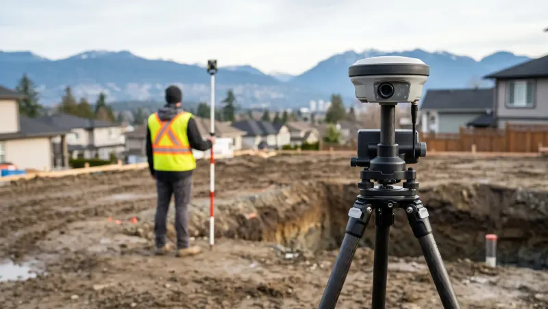
Step 1: Scope Definition
Phase 01Any major renovation, home addition, or commercial Tenant Improvement requires an accurate set of base drawings before you can apply for a building permit. Municipalities in BC will immediately reject a permit application if the "existing conditions" are assumed or inaccurate.
You need As-Built measuring if: - You are missing original drawings: You purchased an older home and the city has no architectural records on file. - Past renovations were unpermitted: The layout of the house no longer matches the drawings that the city *does* have on file. - Commercial Leases: You are taking over a commercial space and the landlord's leasing plan is severely outdated or missing critical structural elements (like columns or plumbing stacks). - Remote Planning & Remote Coordination: Your architect, interior designer, or engineer needs a complete, trusted dataset without spending hours driving out to the property themselves.
Step 2: On-Site LiDAR Scan & Point Cloud Generation
Phase 02For years, measuring a building meant two people walking around for hours with a tape measure and a clipboard—a manual process highly prone to human error. If a single measurement was off, the entire drafting process was compromised.
Today, we use a hybrid approach. We combine state-of-the-art 360° LiDAR scanning with meticulous manual field verification.
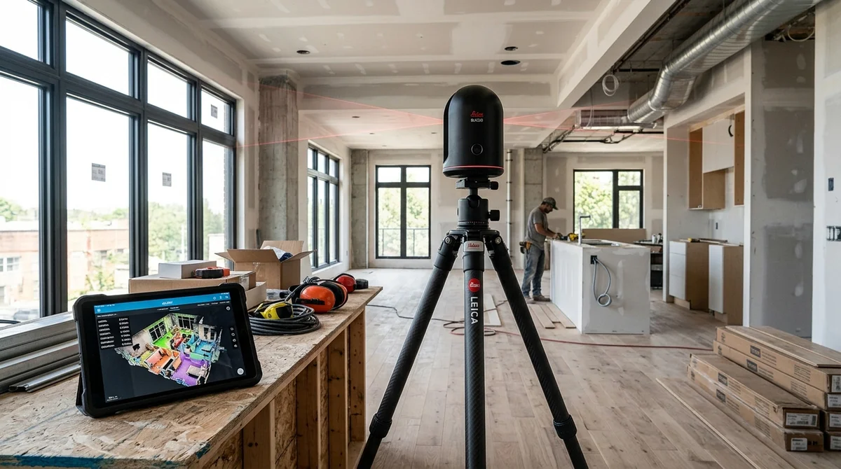
Our LiDAR scanner sits on a tripod and spins, shooting thousands of laser pulses per second to measure the exact distance to every wall, beam, and opening while capturing high-resolution 360° photos. This creates a 3D "Point Cloud"—a digital twin of your property. We then import this point cloud directly into Revit to trace the existing conditions with millimeter accuracy.
However, technology alone isn't enough for a permit-ready set of drawings. That’s why our technicians perform thorough manual field checks to capture what laser scanners can miss:
- Full Vertical & Boundary Verification: Precise measurements across all levels—including basements, main floors, and exact floor-to-ceiling heights.
- Envelope & Framing Detail: Exact exterior wall thickness calculations measured from finished interior drywall to exterior cladding.
- Complete Opening Schedules: Comprehensive window and door schedules detailing exact width, height, and sill heights.
- Elevation & Context Photography: Elevation-by-elevation exterior photo sets, full interior context photography, and tree mapping for accurate site planning.
Step 3: Drafting & Modeling
Phase 03Since 2015, we've delivered accurate, code-compliant drawings for hundreds of residential and commercial projects across British Columbia. One of the greatest advantages we offer architects, designers, and homeowners is saving you a trip to the property.
Whether you live out of town, are managing multiple projects, or simply want to avoid back-and-forth site visits, our documentation is complete from day one:
- Architects & Designers: Get editable AutoCAD (
.DWG) or Revit (.RVT) files along with 360° virtual walkthroughs, allowing them to start designing immediately without booking a field visit. - Contractors & Engineers: Receive exact wall thicknesses, structural beam locations, and vertical clearances needed for reliable estimating and structural design.
- Homeowners: Get peace of mind knowing every detail has been verified on-site by experienced professionals.
Bottom line: We capture every dimension, photo, and structural constraint on-site so you never have to step foot on the property.
Prefer to Measure Simple Spaces Yourself?
If your project is a minor interior update or simple cosmetic alteration and you have the time and a laser pointer or tape measure, taking your own preliminary measurements is entirely doable. Check out our DIY As-Built Measuring Guide for practical tips on measuring wall widths at door jambs, recording window heads, and navigating the time-vs-money trade-off.
Step 4: Delivery (PDF/DWG)
Phase 04One of the most common misconceptions is confusing an As-Built Measurement with a Land Survey. They are two entirely different documents, and for many projects (like a home addition or laneway house), you will need *both*.
- As-Built Measurement: This is an *interior and exterior structural measurement* of the building itself. It documents floor plans, wall thicknesses, window/door schedules, staircases, and ceiling heights. It tells the city exactly what the physical building looks like today.
- Topographic Land Survey: This is an *exterior legal document* produced by a registered BC Land Surveyor (BCLS). It maps property boundaries, lot elevations, legal setbacks, and the footprint of the house relative to property lines. It does *not* document the inside of the building.
Step 5: Code Compliance & Engineering Coordination
Phase 05Modern BC Building Code mandates leave zero room for estimation. Inaccurate existing condition drawings can stall your permit review for months or force expensive redesigns:
- Seismic Bracing Plans: Lateral load requirements for braced wall panels are strictly enforced. To design a code-compliant seismic bracing plan, engineers need to know the exact width, height, and sill height of every opening relative to the foundation. Our complete opening schedules provide exact data for structural calculations.
- Zero Carbon Step Code & Energy Modeling: Energy advisors require millimeter-accurate volume and envelope calculations. By measuring exterior wall assemblies from interior drywall to exterior cladding, we provide the exact wall thickness data needed for precise insulation and HVAC modeling.
- Municipal Tree Protection Bylaws: Municipalities across BC (such as Vancouver, Burnaby, and Port Moody) require strict tree management plans. We plot and document site trees during our site visit so your designer can account for root protection zones early.
Summary: The Complete As-Built Workflow
SummaryPhase 1: Scope Definition
We confirm your property size and deliverables required by your designer or contractor (PDF plans, AutoCAD files, Revit models, or 360° virtual tours).
Phase 2: On-Site LiDAR & Manual Field Verification
Our technician arrives on site with our 360° LiDAR scanner and manual verification tools to capture point cloud data, wall envelopes, opening schedules, and complete photo documentation.
Phase 3: Drafting & Digital Twin Modeling
Our building permit drafting team imports the point cloud into Revit, cross-references manual field measurements, and drafts flawless existing condition plans.
Phase 4: Final Delivery
We deliver your final files in PDF, DXF, DWG, or RVT format—giving you a permit-ready foundation for your upcoming renovation or design project.

Canadian Blueprint Inc.
BC Building Design & Permit Drawings
Published • Updated